Jonathan Alperstein
Archaeologist / PhD Candidate, Dartmouth College
Using non-destructive methods to understand the landscapes around us — locally and globally.

About
Multiscalar approaches to understanding the archaeological record.
I'm an archaeologist finishing my PhD at Dartmouth College, where my dissertation investigates settlement and subsistence patterns in the Upper Connecticut River Valley. My work asks a deceptively simple question: where and how did people live in the Northeast prior to European contact?
These questions are difficult to answer with traditional archaeological methods. Instead, I use a combination of approaches — landscape-scale geophysics, remote sensing, and archaeobotany — to map and uncover cultural features buried deep beneath the soil. This research has been supported by the National Science Foundation.
These methods reach well beyond my dissertation. I've applied them at sites across the Northeast and American Southwest, Mesoamerica, Central Asia, and Aotearoa New Zealand, and the results appear in publications such as the 2025 Science article on intensive Indigenous agriculture in Michigan's Upper Peninsula.
Alongside research, I direct fieldwork, teach field methods at Dartmouth, and partner closely with Indigenous communities and tribal preservation offices whose histories this work concerns.
Field sites
A global field practice.
From the Upper Connecticut River Valley to the Konya Plain, the Uzbek steppe, and the islands of Aotearoa — survey, geophysics, and remote sensing across four continents. Click a marker, or a site in the list, to explore.
Map data © OpenStreetMap contributors · tiles © CARTO. Marker positions are approximate regional locations.
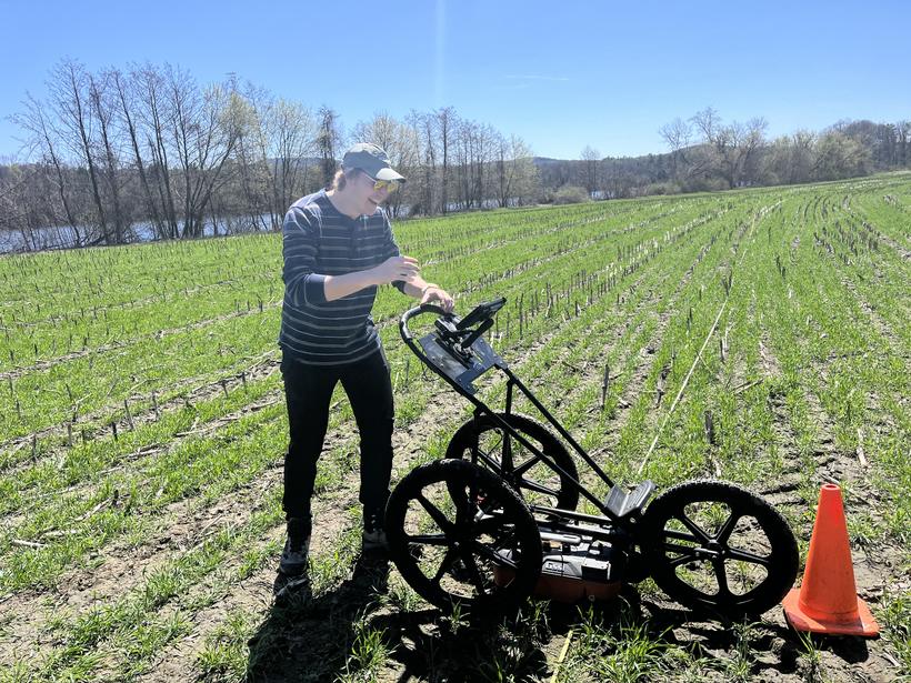
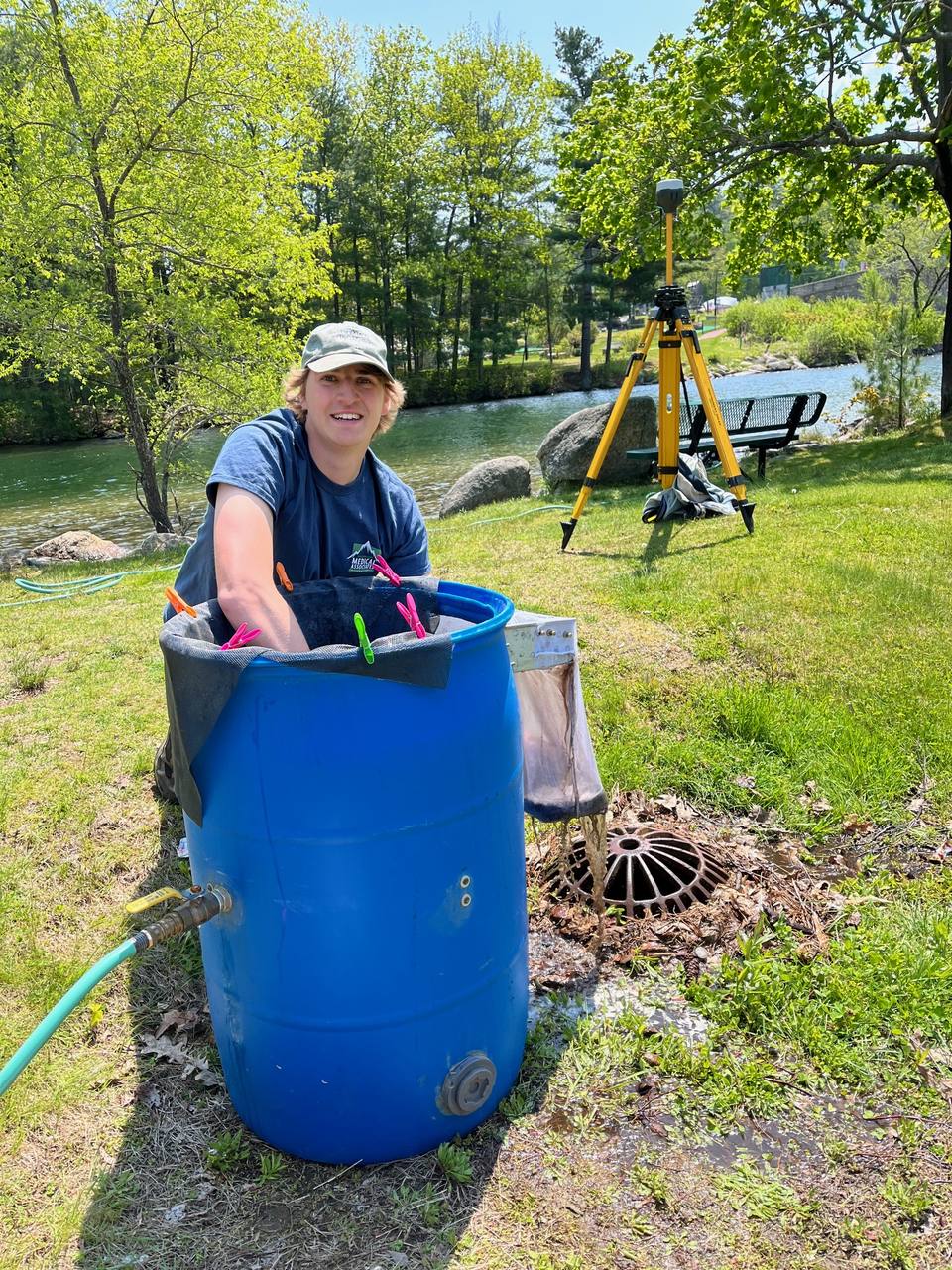
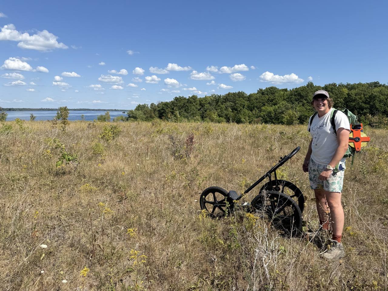
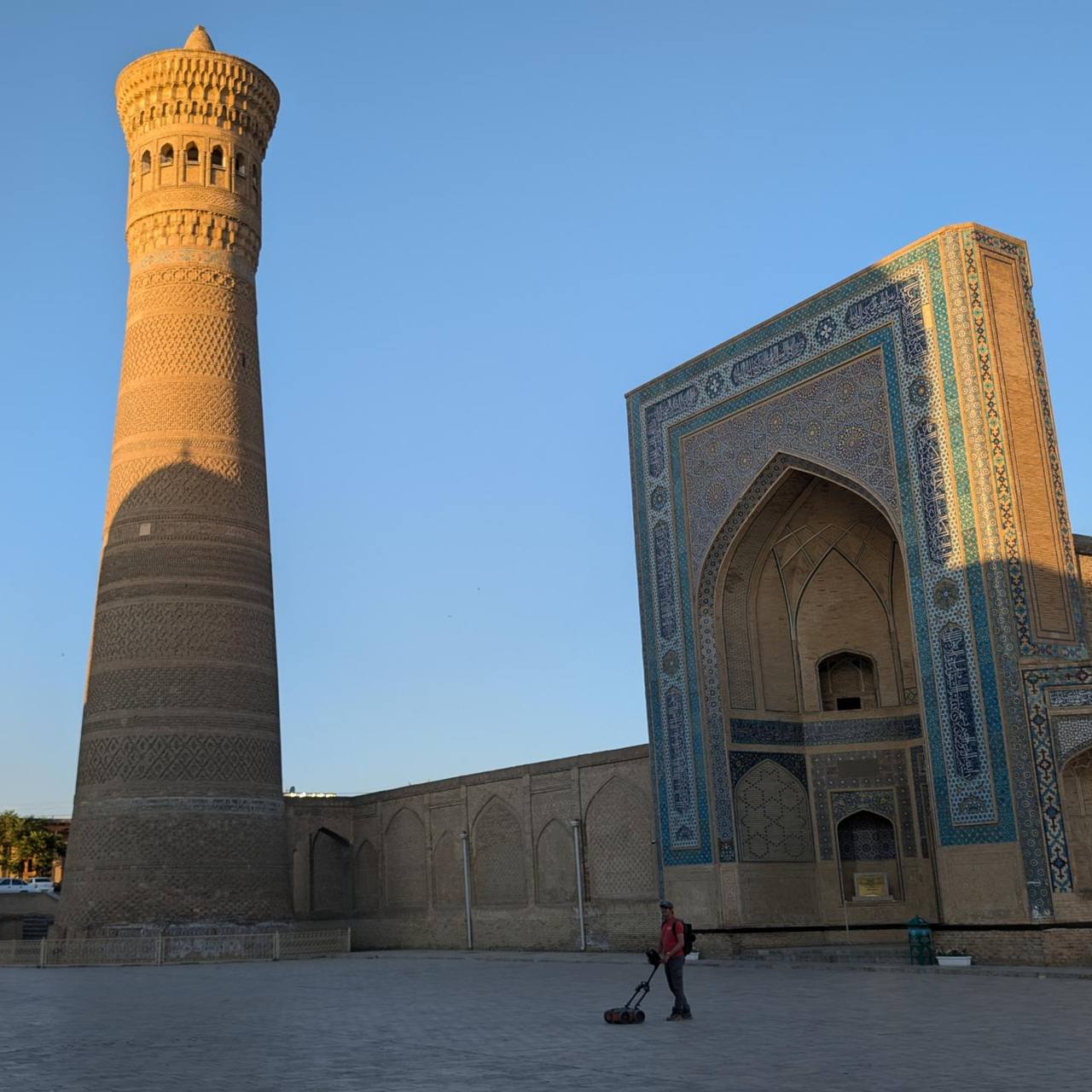
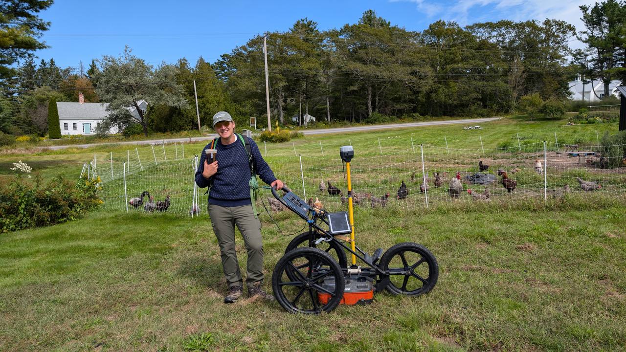
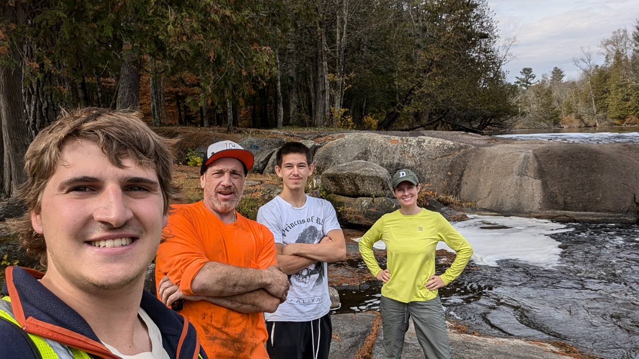
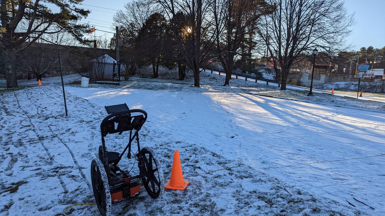
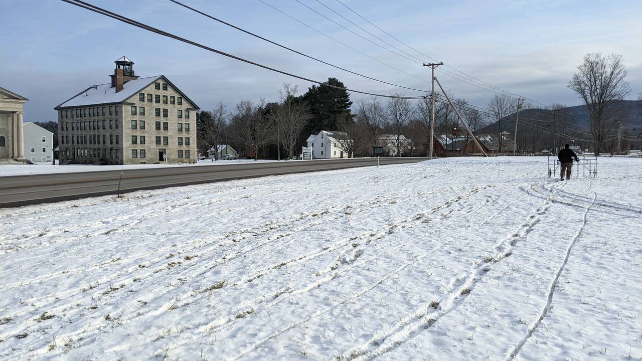
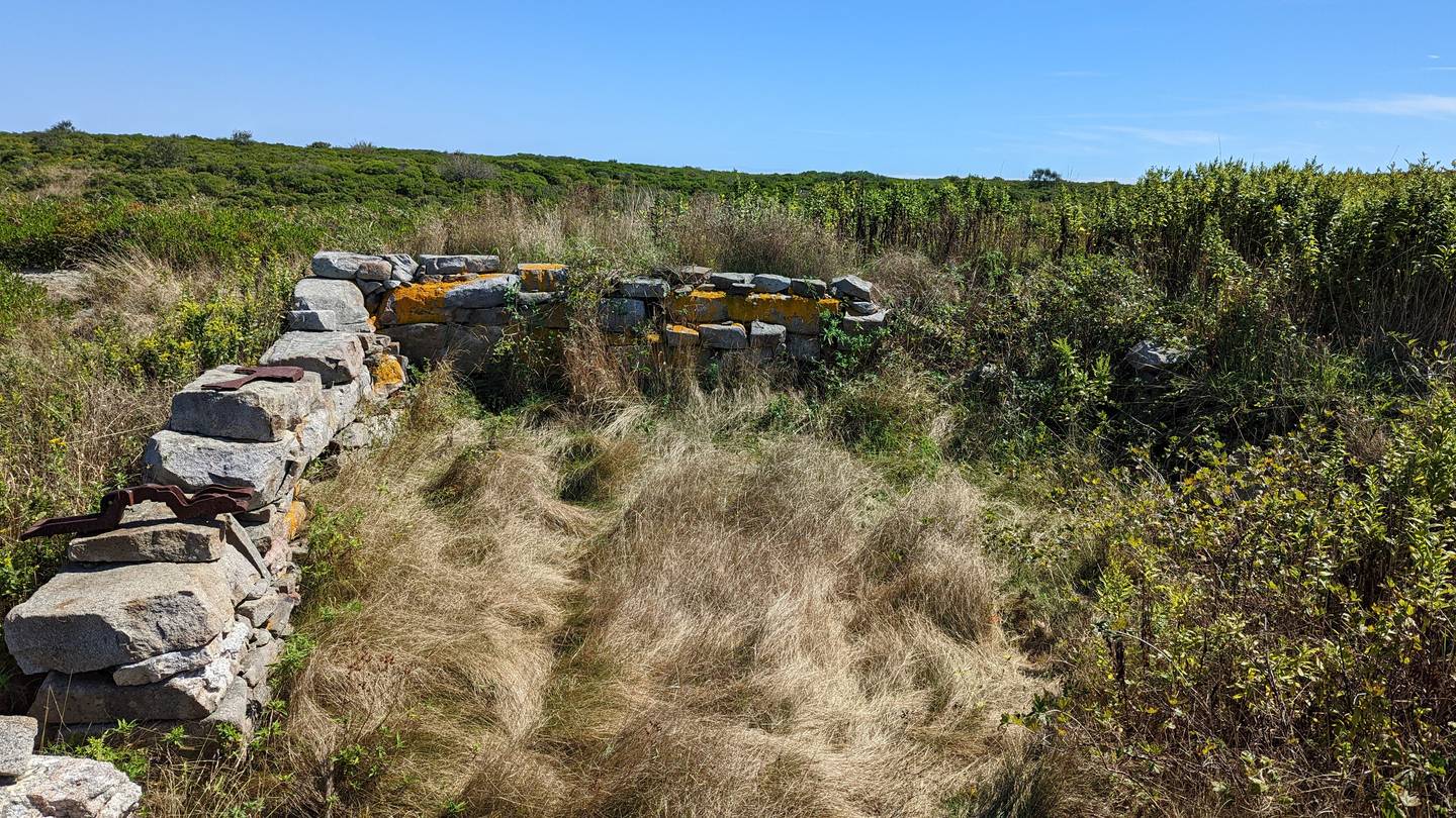
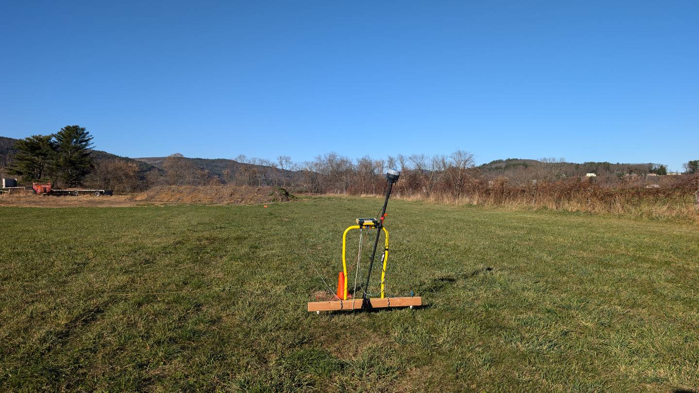
In the field
Anywhere, any condition.
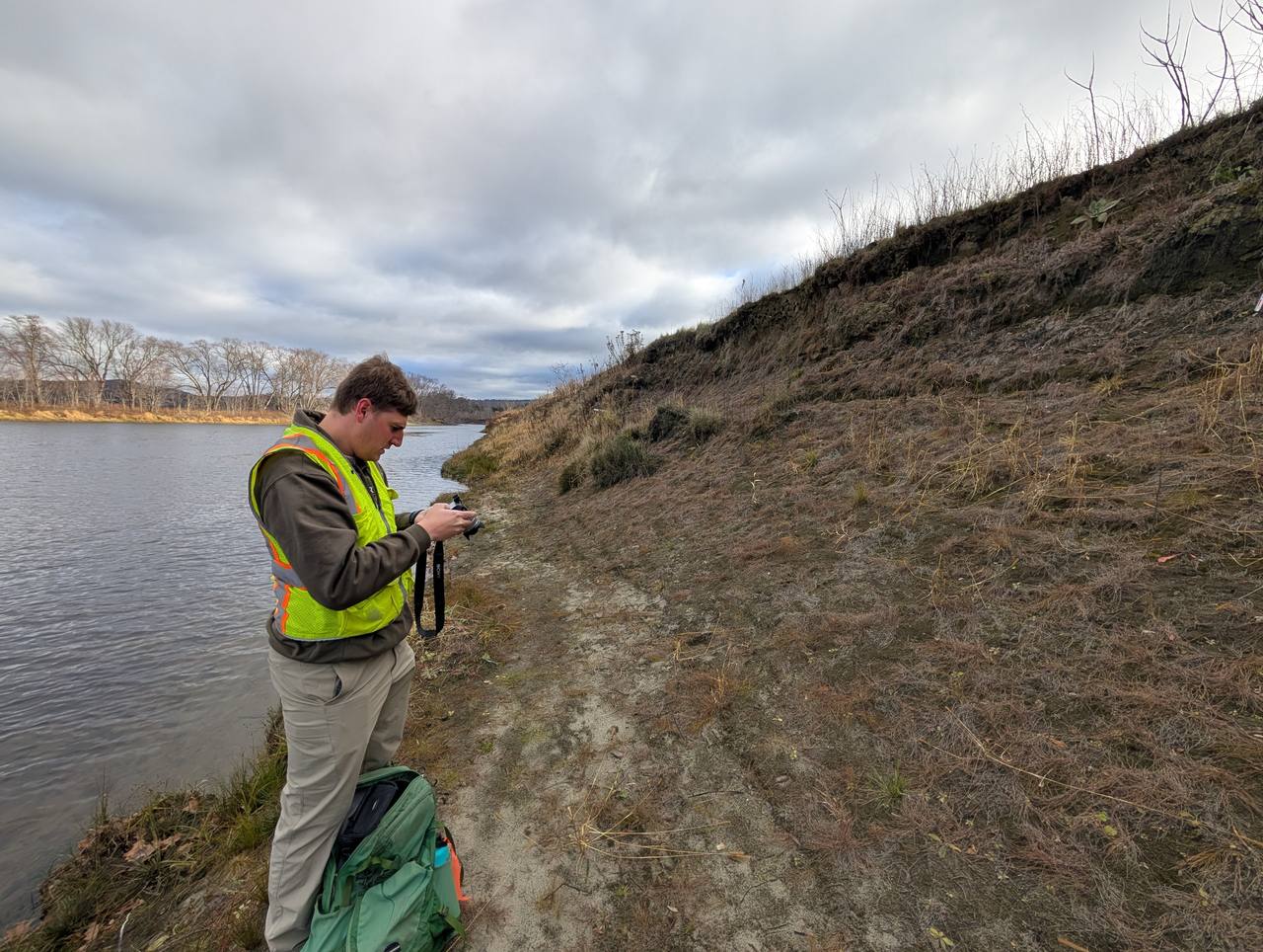
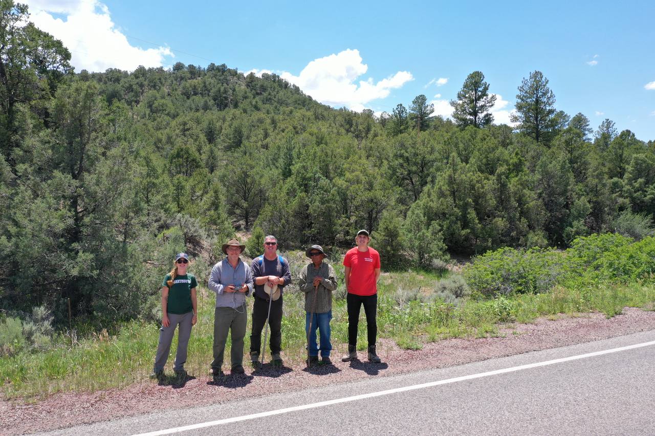
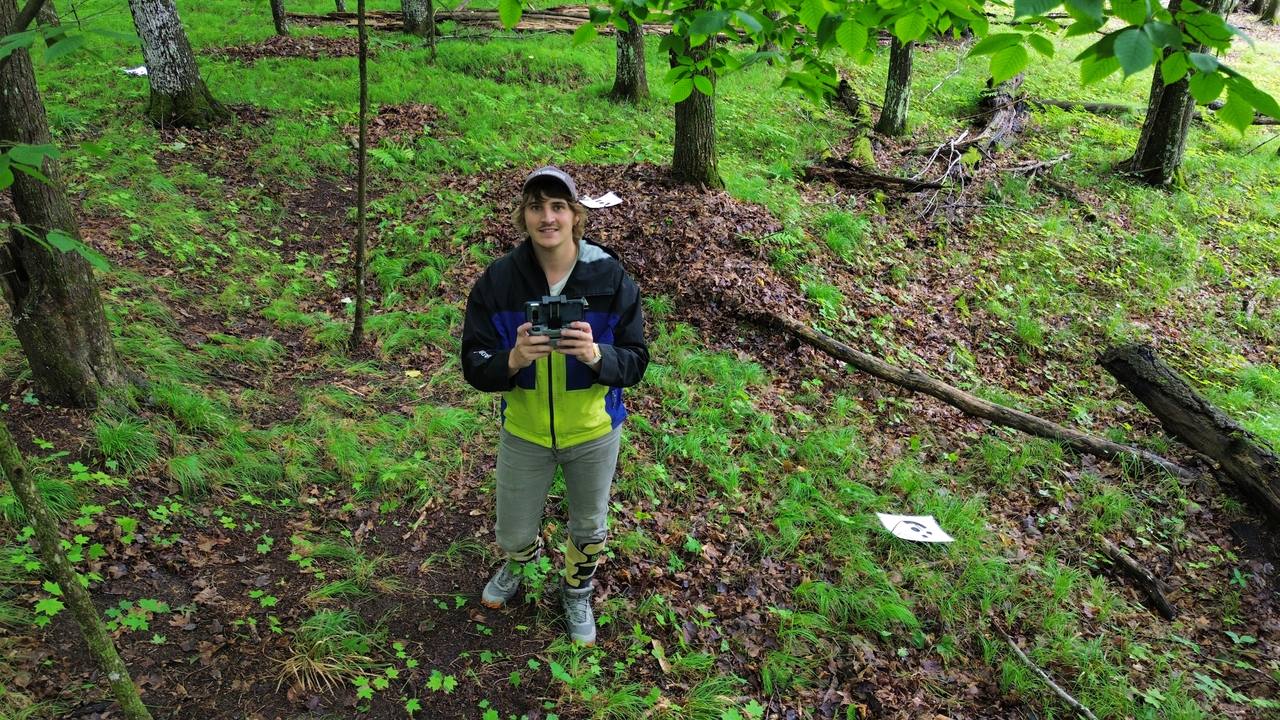
Ground-penetrating radar, magnetometry, drone survey, and archaeobotany — from New England floodplains to the deserts of the American Southwest, the Konya Plain, and Bukhara. Tap any photo to enlarge.


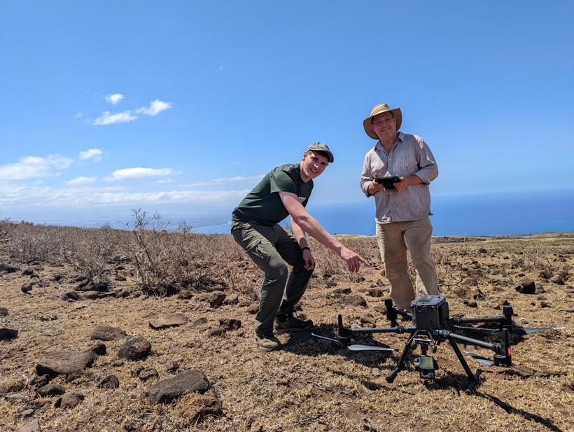
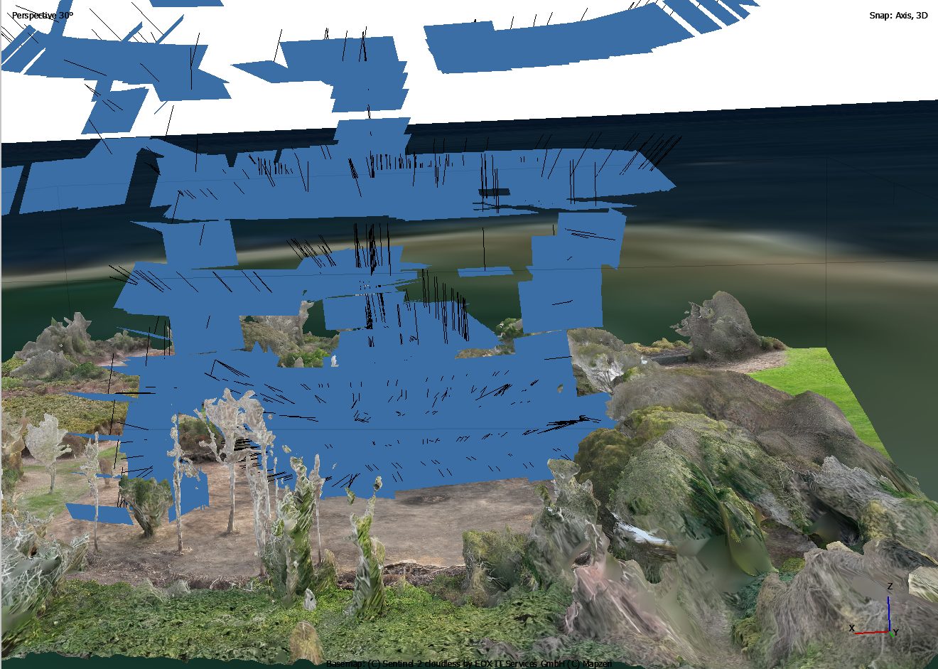
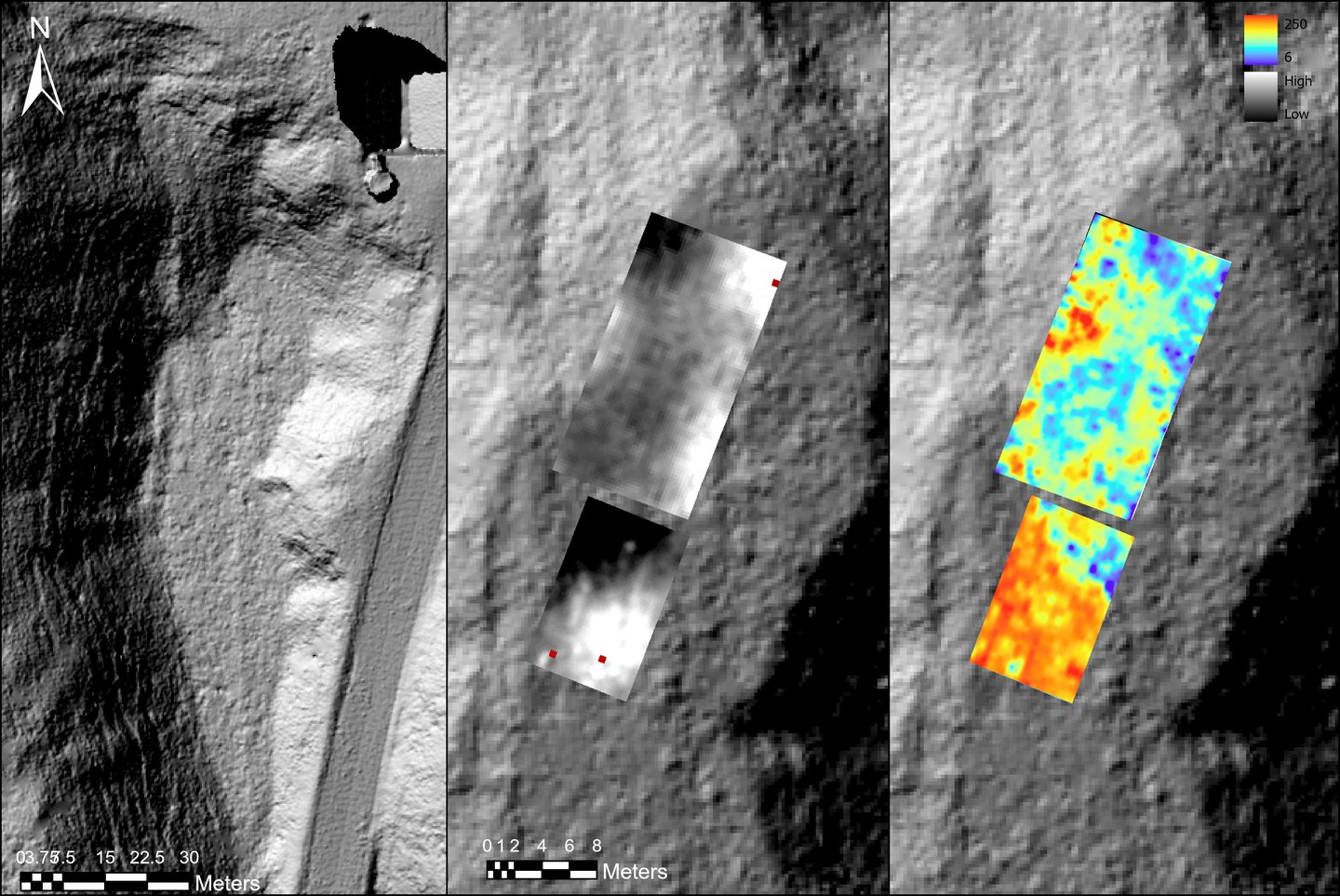
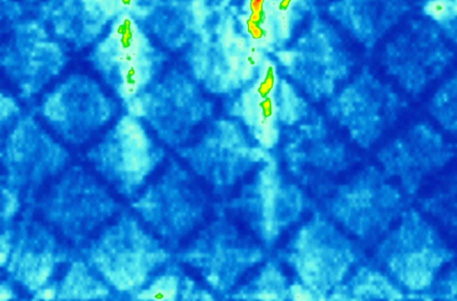
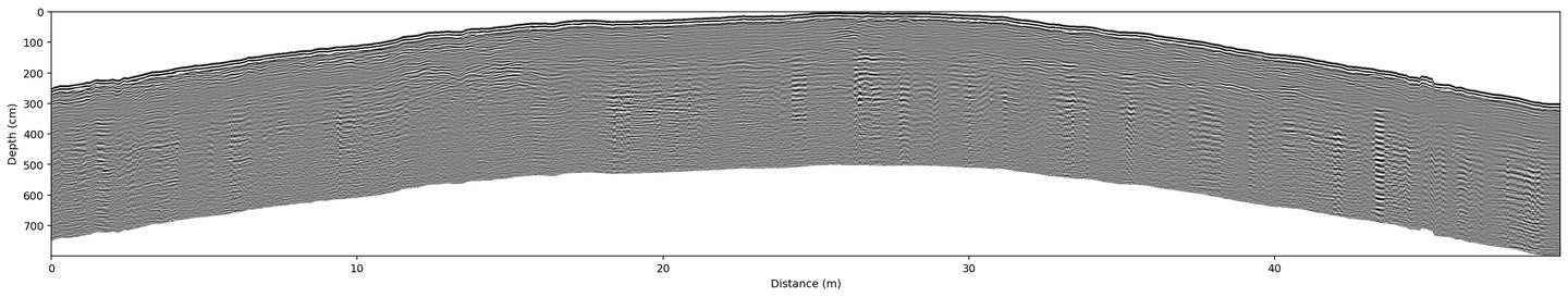
Remote sensing data
What the surveys reveal.
A few examples of the data behind the fieldwork — drone photogrammetry, ground-penetrating radar depth-slices and profiles, and magnetic gradiometry draped over LiDAR.
Featured work
Archaeological evidence of intensive Indigenous farming in Michigan's Upper Peninsula, USA
Peer-reviewed · Science 388(6751):1082–1085 (2025)
Publications
Peer-reviewed articles & reports.
Peer-reviewed articles & chapters
McLeester, M., Grignon, J., Hill, A.C., Creamer, P., Grignon, D., Alperstein, J., & Casana, J. Storied Space: Documenting a Megalith at the Menominee Reservation, Wisconsin, USA.
McLeester, M., Ferwerda, C., Alperstein, J., Overstreet, D., Grignon, D., & Casana, J. Archaeological evidence of intensive Indigenous farming in Michigan's Upper Peninsula, USA.
Creamer, P. M., Alperstein, J., Massa, M., Osborne, J., & Casana, J. Magnetic Gradiometry Survey at the Urban Centre of Türkmen-Karahöyük (Turkey).
Technical reports
Ladefoged, T., McCoy, M., Jorgenson, A., Alperstein, J., Sowerby, S. Otuihu Pā Fieldwork Report and Preliminary Results.
McLeester, M., Alperstein, J. Lacrosse Spectator Project.
Casana, J., Ferwerda, C., Alperstein, J., Kitchel, N., Rockwell, H., & Silvia, Z. Subsurface Geophysical Surveys at Kingscote and Hunter House, Newport, RI.
McLeester, M., Casana, J., Alperstein, J., Ferwerda, C., & Kitchel, N. Geophysical and Remote Sensing Investigations of the Colonial Pemaquid State Historic Site.
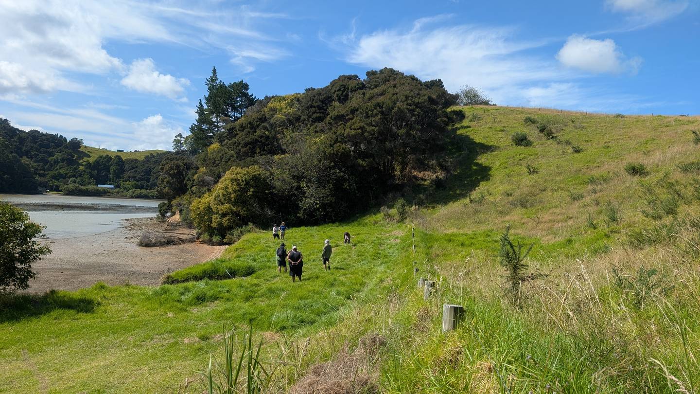
Fieldwork
Projects in the field.
From directing regional survey to running geophysics and remote sensing for projects across the US, Mexico, Türkiye, Uzbekistan, and Aotearoa New Zealand.
Ten Thousand Islands Regional Survey
Pemaquid Peninsula Regional Archaeological Survey — NPS Battlefields Protection
Ahuahu Archaeological Survey
Bukhara Regional Survey
Picuris Pueblo Archaeological Survey
Geophysical Survey in Tlaxcala, Mexico
Türkmen-Karahöyük Regional Project, Konya, Türkiye
Kankakee Protohistory Project — Middle Grant Creek, Midewin National Tallgrass Prairie
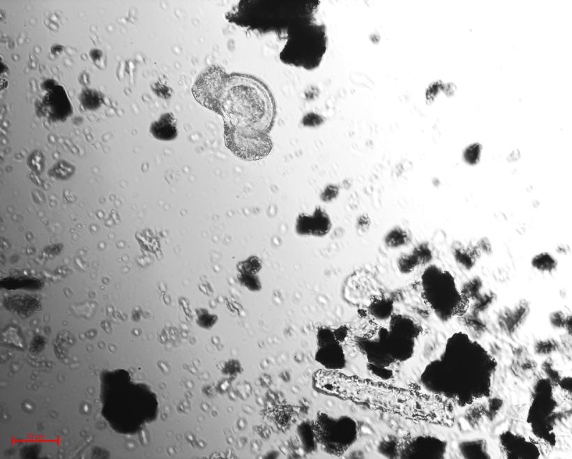
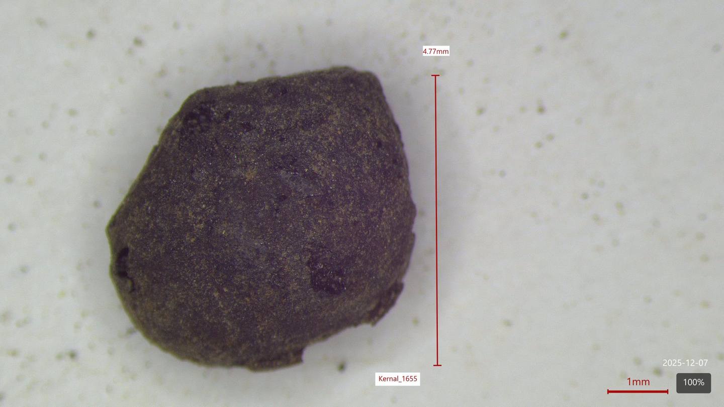
Paleoethnobotany
Recreating past climates, environments and diets.
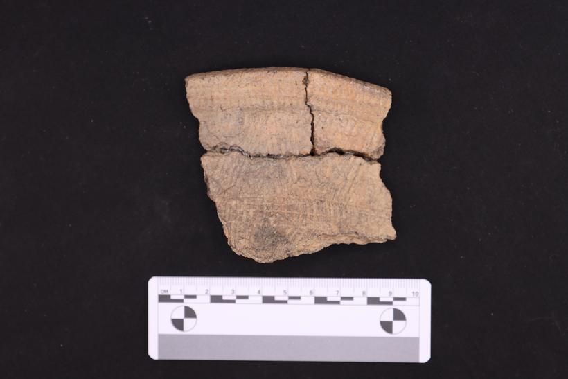
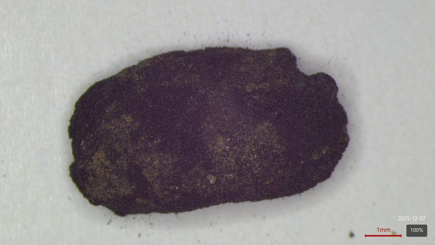
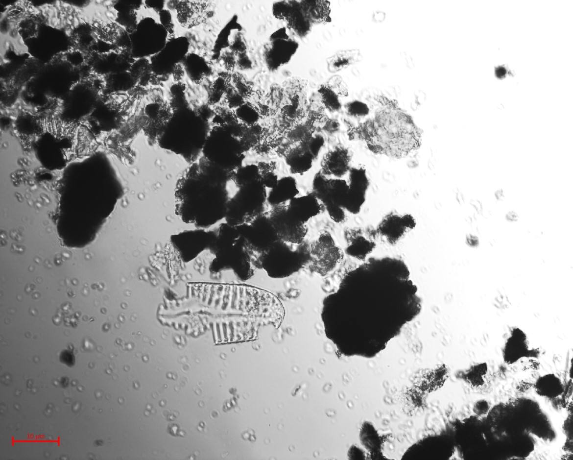
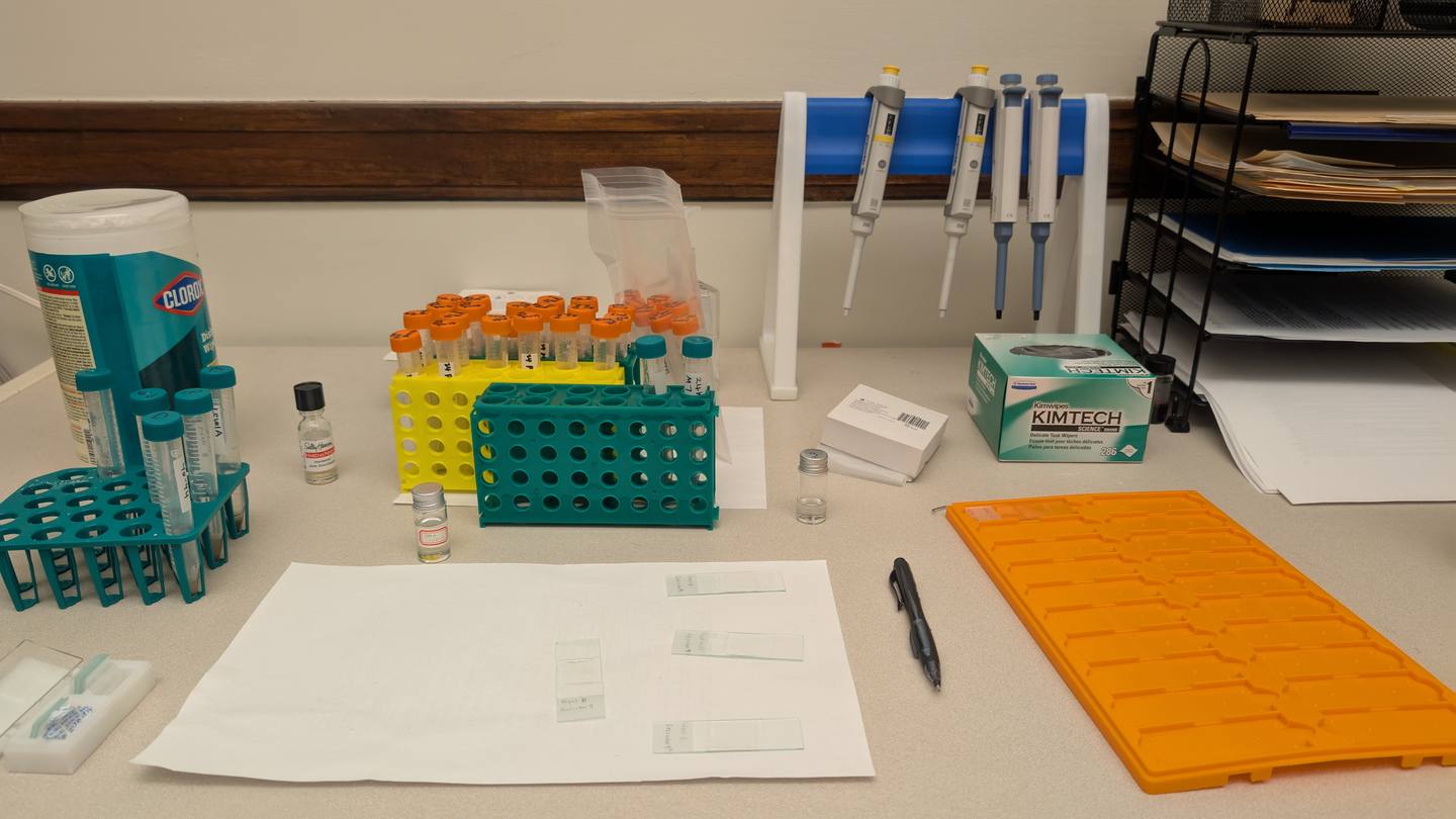
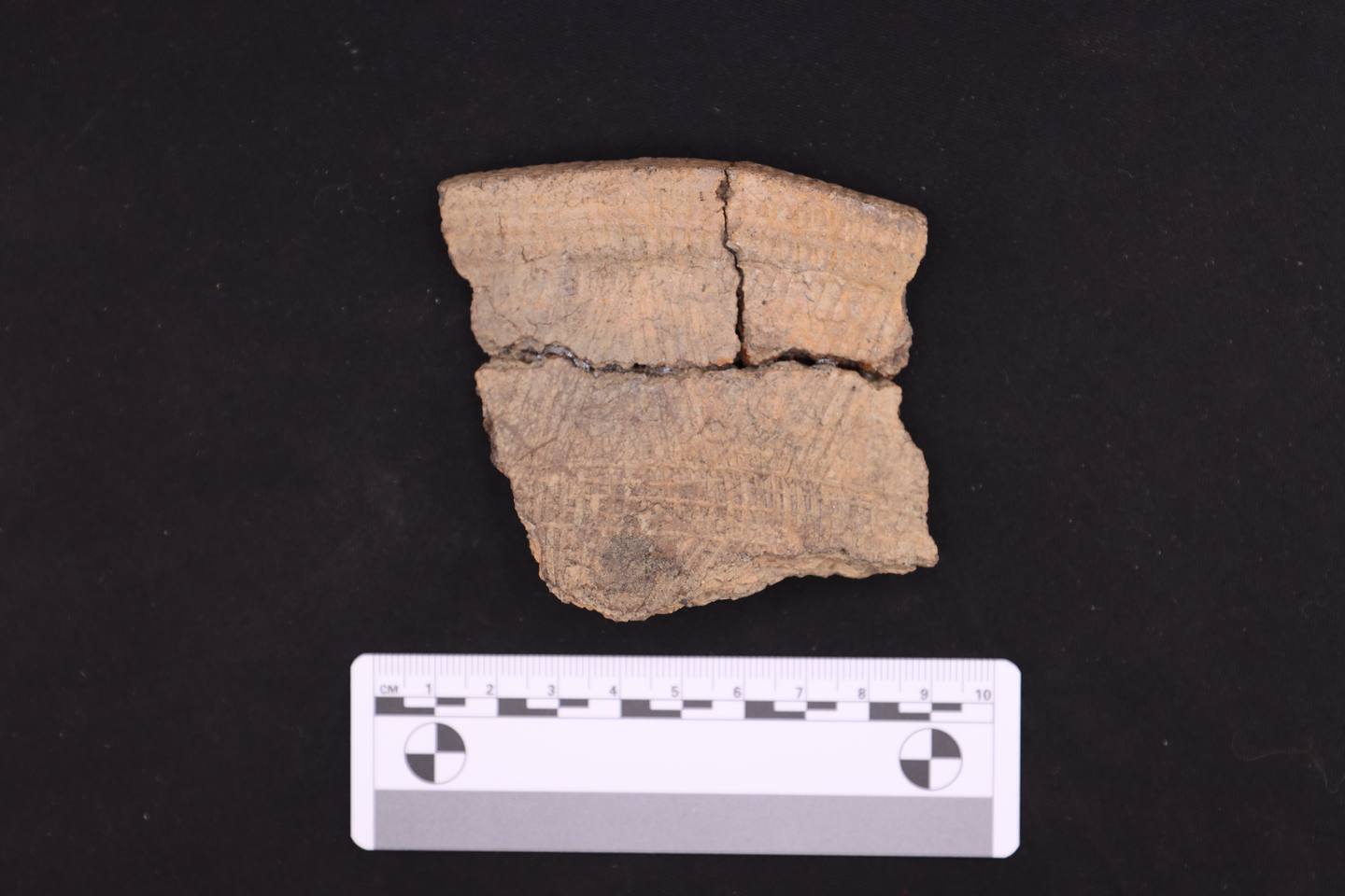
Alongside the field and geophysics, I work on the plant side of the archaeological record — macro- and microbotanical analysis, and the extraction of residues, pollen, and phytoliths from soils and ceramics.

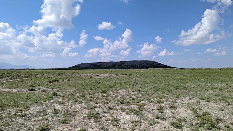
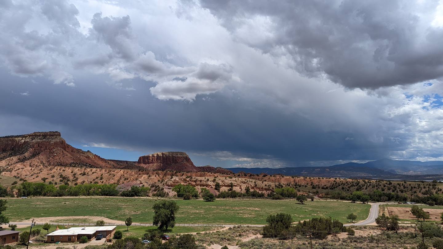
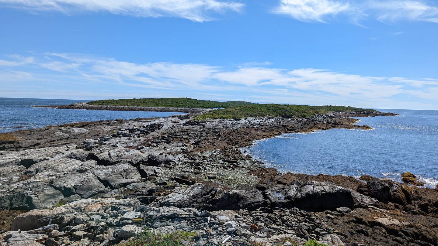
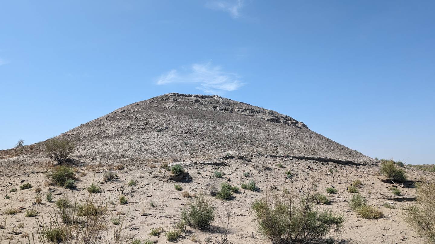
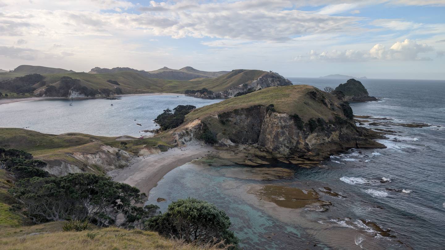
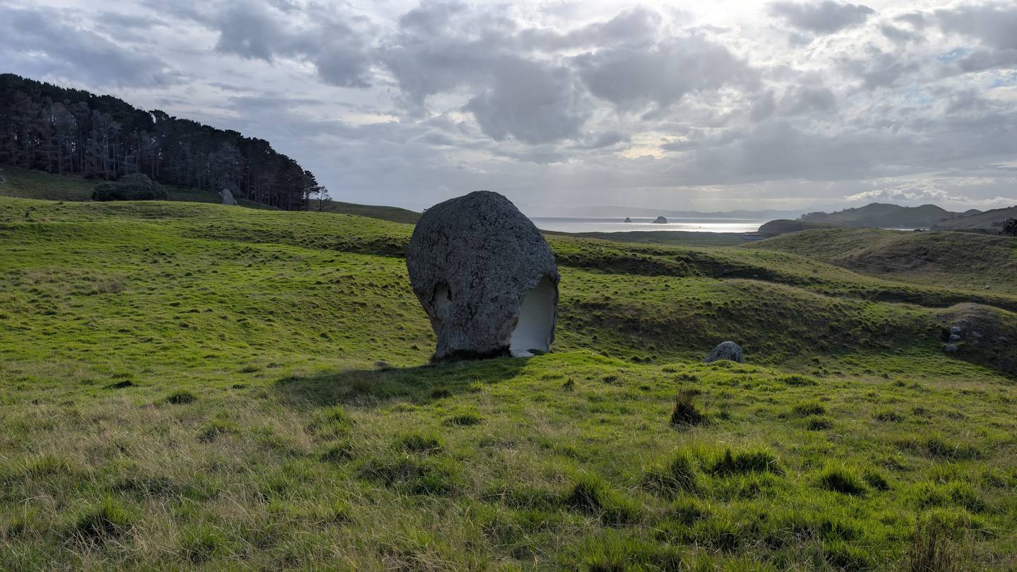
The places
Regions of past and continued research.
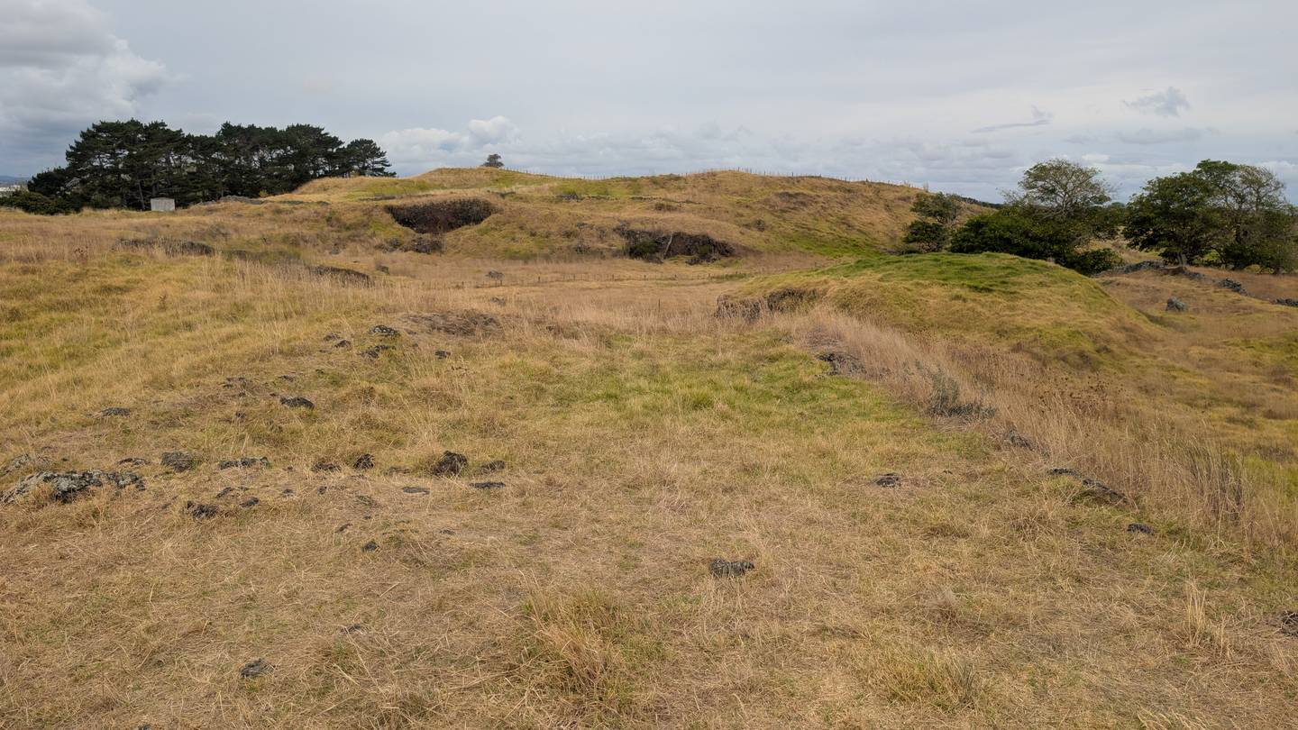
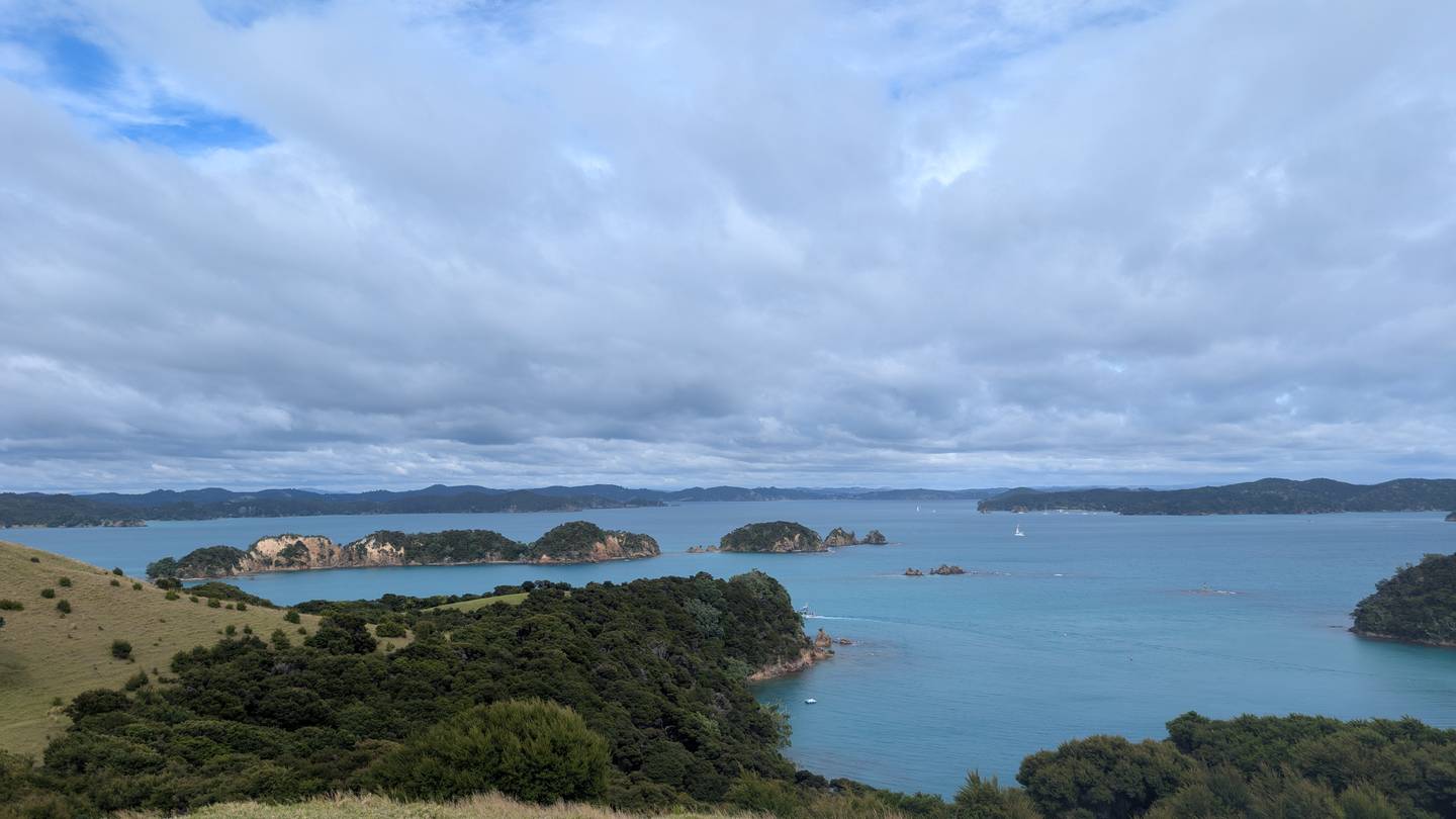
The landscapes behind the data — höyüks on the Konya Plain, tepes in the Uzbek desert, the red-rock Southwest, and the coasts and pā of Aotearoa.

Talks
Invited lectures & presentations.
Invited lectures
New England's Indigenous Landscape
A Kernel of Truth: On the Possibilities of Extensive Maize Agriculture in the Archaeological Northeast
Locating New England's Woodland Villages
Selected presentations & posters
Geophysics Beyond Prospection: Finding New England's Villages
New England's Indigenous Landscape: Re-evaluating Ancestral Abenaki Settlements
Mounds, Myths, and Missions: Archaeological Investigations in the Great Oxbow of the Upper Connecticut River Valley
Remote Sensing of Archaeological Landscapes at Picuris Pueblo
Woodland Villages in the Upper Connecticut River Valley: Landscape-Scale Geophysics as Evidence for Large Sedentary Settlements in Northern New England
Woodland Villages in the Upper Connecticut River Valley (landscape-scale geophysics)
Wetland Soils and Intensive Maize Agriculture in Michigan's Upper Peninsula
Where Are All the Woodland Villages of Vermont?
High-Precision Photogrammetry Mapping of the South Kohala Agricultural Field System, Hawai‘i Island
Locating Intensive Agriculture Through Community Archaeology in Michigan's Upper Peninsula
Locating New England's Woodland Villages: Landscape-Scale Geophysics in the Upper Connecticut River Valley
Teaching & mentorship
In the classroom and the trench.
Courses taught
Dartmouth College · Dept. of Anthropology · 2020–present
- Settler Colonialism: An Anthropological Perspective2023–26
- Digging Dartmouth: Field Methods in Archaeology2021–22
- Environmental Archaeology2021–22
- Introduction to Ecology2021
Recognition & roles
Teaching honors and program leadership
- Outstanding Graduate Student Teacher Award2024
- Outstanding Graduate Student Teacher Award2023
- Director's Assistant — Anthropology Foreign Studies Program, Auckland NZ2022–25
- Field Archaeologist — Cultural Surveys Hawaii Inc. (Oʻahu & Kauaʻi)2018–20
Grants & awards
Funding & recognition.
Professional credentials
Specialized training & certification
- GPR Advanced Interpretation Workshop — Dr. Lawrence Conyers2023
- Wilderness First Responder — Wilderness Medical AssociatesActive
Education
Degrees & dissertation
 PhD, Ecology, Evolution, Environment & Society — Dartmouth College (defending)2026
 BA, Anthropology, cum laude — Vassar College2018
Service & outreach
Working with communities.
Surveyed Norwich Beaver Meadow Cemetery with the local Historical Cemetery Commission
Ihumātao agricultural survey · Woodstock Union High School Shadow Day
Science Day, Dartmouth College
Historical Cemetery project for Stockbridge-Munsee repatriation, Vassar College
Oxbow J-term program — lectured on local Indigenous histories and trained middle & high school students in archaeological field methods
Community excavations through the Digging Dartmouth class
Get in touch